Apple Maps cars use LiDAR, Mac Pro to capture street data
 Malcolm Owen
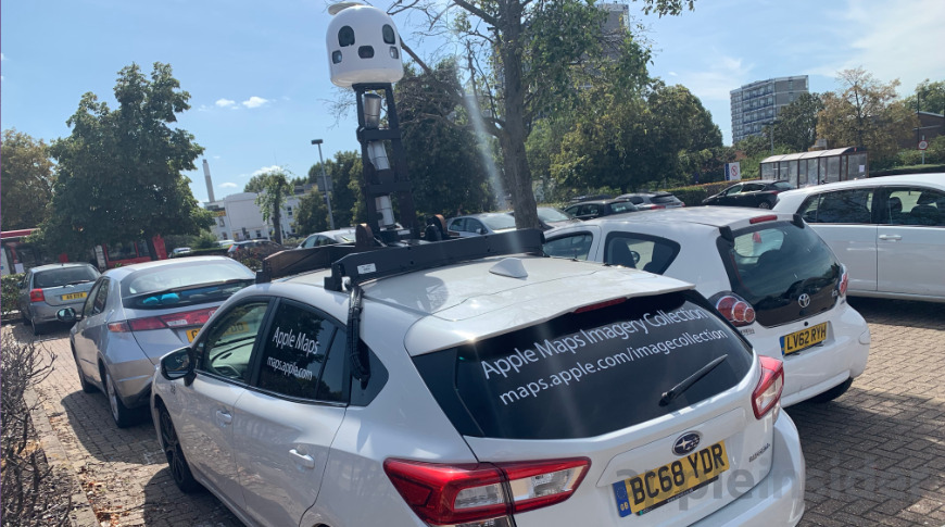
Details of the working practices for drivers of Apple's fleet of mapping vehicles have been revealed, showing how the company's cars capture 3D data for Apple Maps and for training its self-driving vehicle systems, using custom iPads and a Mac Pro.
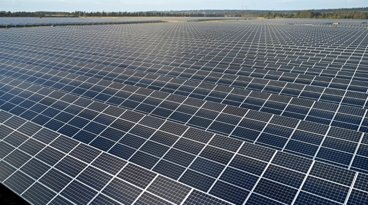
Cars mapping for Apple Maps have been periodically spotted on the roads, capturing routes and other data about local areas that can be used in Apple's navigational products. In a report describing how the system works, it is revealed that drivers have to abide by quite strict and secretive requirements while capturing the data.
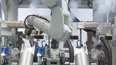
Internal materials provided to 9to5Mac reveal that Apple uses two different types of vehicles as part of the initiative, as part of Apple's 3D Vision team. One is the self-driving Lexus that are used as part of Apple's autonomous driving program for the "Apple Car," codenamed "TycheEach," while another is a modified Subaru Impreza primarily for capturing data, known internally as "Ulysses."
The Subarus are fitted with a tower on the roof containing a combination of high-resolution cameras fitted with Zeiss lenses and LiDAR scanners, with data processed in real time via an onboard 2013 Mac Pro. A modified iPad referred to as the EyeDrive unit controls capture, as well as instructing operators on their tasks.
The EyeDrive app is used to say where the driver has to travel in the vehicle, while a secondary operator checks captured images and data for quality and marking if a street cannot be accessed. A mountain of data is captured by the system, with it filling a collection of four SSDs measuring 4 terabytes each per week.
The teams are under strict instructions to start capturing data at times of day when the sun is at, or above 30 degrees from the horizon, as the sun could interfere with the LiDAR sensors at shallow angles. Captures also must be performed under ideal weather conditions, so that the captured images are consistent with previous versions.
To ensure a level of privacy for the operation, the cars are stored at specific safe locations that it does not reveal. The secrecy behind the locations extends to building owners, who end up renting properties to an Apple-owned front company.
Images captured are used for a number of purposes, such as to train self-driving vehicle software how to read and interpret the road. For consumers, the same data is used to power features such as Flyover and Look Around.


 William Gallagher
 Amber Neely
 Sponsored Content