Apple Maps now supports real-time road alerts from emergency vehicles
 Mike Peterson
Apple Maps alerts
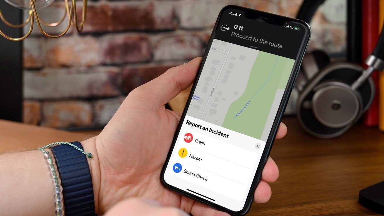
Apple Maps now supports real-time alerts sourced from Safety Cloud, a digital alerting platform used by emergency responders and construction zones.
Apple's primary navigation app already supported real-time alerts from other drivers. The introduction of HAAS Alert's Safety Cloud means that Apple Maps users can now receive road hazard warnings reported by professional personnel.
HAAS Alerts are sourced from first responders, towing professional, and other emergency vehicles. When users approach one of these incident sites or vehicles, they'll receive a real-time alert on their Apple Maps.
The HAAS Alert Safety Cloud system is used by more than 1,200 public safety agencies, roadside assistance companies, towing operators, road workers, and other entities with vehicles or roadway equipment.
HAAS Alerts, although a lesser-known service among consumers, actually comes standard on many emergency vehicles manufactured by various brands. The company says its service integrates with aftermarket emergency vehicles, work zone equipment, telematics systems, and traffic management platforms.
Since the launch of Safety Cloud in 2017, the service has sent out more than 1 billion digital alerts.
"With the addition of Apple Maps as a Safety Cloud digital alerting partner, drivers using an iPhone as a travel companion will now be safer and better aware of upcoming roadway conditions. We applaud Apple for prioritizing driver safety and taking steps towards achieving the Vision Zero goal of eliminating all traffic fatalities and severe injuries," said Jeremy Agulnek, senior vice president of Connected Vehicles at HAAS Alert.


 Malcolm Owen
 William Gallagher and Mike Wuerthele
 Christine McKee
 William Gallagher

 Marko Zivkovic