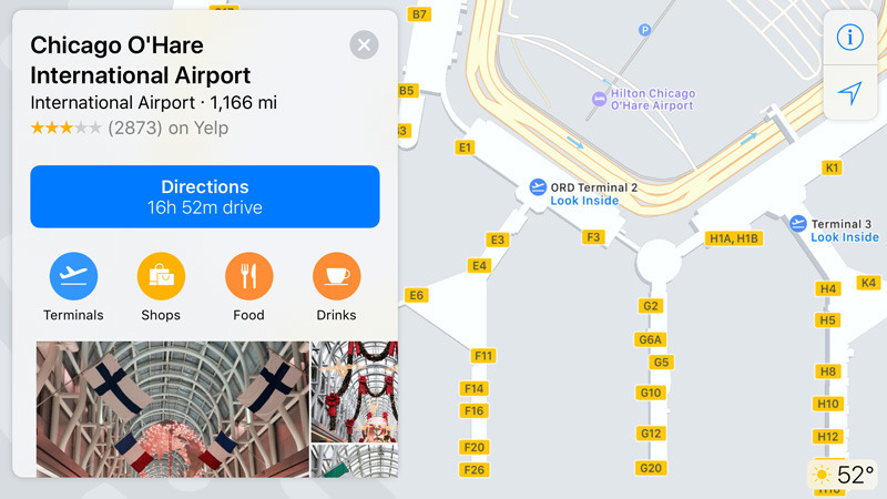
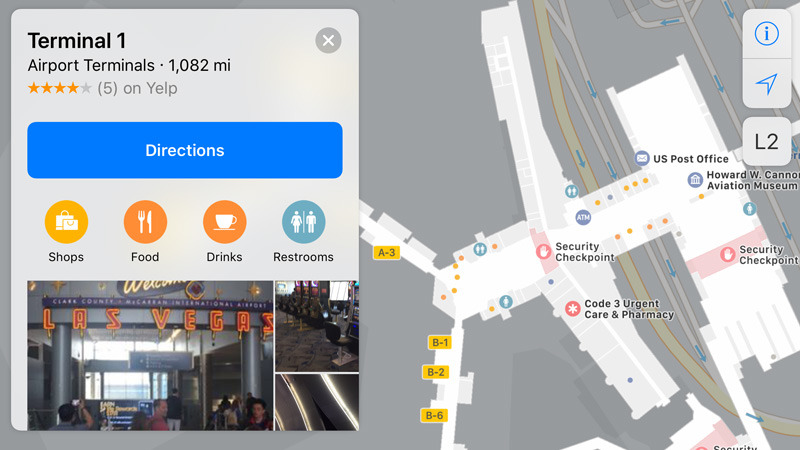
Apple has added the interiors of several major U.S. airports to Apple Maps, among them O'Hare International and Midway International in Chicago.
Other additions include Miami International, Oakland International, Las Vegas's McCarran International, and Minneapolis-Saint Paul International. To see details, Apple Maps users can simply zoom in far enough, or tap "look inside" for the appropriate buildings.
Until recently, only Philadelphia International and San Jose International had indoor coverage, supported since this summer's iOS 11 betas.
Apple's airport maps let users find gates, food, shops, and other points of interest, with all the details outdoor locations would normally include, such as images, operating hours and directions. As necessary, people can browse by floor.
Similar maps are being added to malls. Future airports will include some of the world's biggest hubs, such as London's Heathrow, New York's JFK, Toronto's Pearson International, and Amsterdam's Schiphol.
 Roger Fingas


 Charles Martin
 Christine McKee
 Wesley Hilliard
 Malcolm Owen
 Andrew Orr
 William Gallagher
 Sponsored Content


10 Comments
More of this please, Apple.
Baltimore’s BWI Airport has had this since the summer betas as well.
Slightly off topic, but thank you Apple Maps for including off-beat places too, not just useful eatery chains. Recent visit to Charleston, SC was surprised to see listed on Apple's grid a Historical Maps and Prints shop. I stayed fascinated more than an hour. Owner traced her history to French Huguenot immigrant in 1695. Came away with three 19th Century prints of seaweed, of all things.