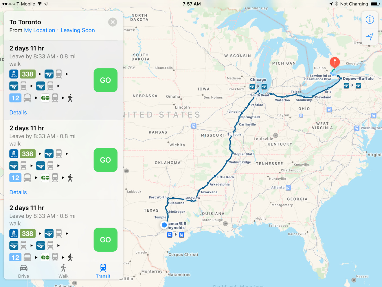
Apple is now offering iOS and macOS Maps users the ability to navigate via Amtrak's full American rail system, plus limited stops in Canada.
Previously Amtrak directions were only functioning in the northeast, which while serving a large number of riders, cut off the rest of the continent. Maps users can finally travel wherever Amtrak stops, including the major Canadian cities of Montreal, Toronto, and Vancouver — in some cases though, Maps may suggest switching to alternate transportation to save time.
Existing northeastern coverage has been improved, for instance adding the Downeaster, a route between Brunswick in Maine and Boston, Mass.
Apple's Amtrak support is similar to its coverage of National Rail in the U.K., in that while essential for cross-country train trips, its usefulness can be contingent on whether the departure and arrival cities have local Maps transit data.
Apple has been gradually restoring public transit directions since launching iOS 9 in Sept. 2015. They were stripped out with 2012's iOS 6, as Apple decided to abandon Google Maps data in favor of content from other providers.
 Roger Fingas


 Charles Martin


 Malcolm Owen
 William Gallagher
 Christine McKee
 Marko Zivkovic
 Mike Wuerthele


4 Comments
Now if only Amtrak would expand its routes across the US and Canada....
Looking forward to trying out this new feature on my way home tonight.
That could be handy next time I'm in the US. If I can, I prefer to take rail rather than deal with TSA just to fly between cities.
Apple is going to best Google in maps eventually. Hopefully, Apple will release a multi platform version that the Android OEMs are willing to install as the default now that the OEMs are competing with Google in hardware.