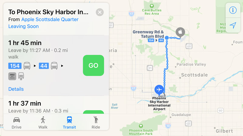
Apple has silently updated its Maps coverage with public transit directions for Phoenix, Ariz., filling in another major U.S. city.
People with an iPhone, iPad, Mac, or Apple Watch can get around by bus and train within the city itself, as well as various suburbs like Mesa, Scottsdale, and Tempe. Apple's Mesa data center, however, is out of range.
Phoenix isn't yet listed on Apple's iOS feature availability page, which the company is typically slow to update.
Apple continues to concentrate most of its Maps transit coverage in the U.S., U.K., China, and Japan. Some other American cities in the mix include Austin, Chicago, Denver, Los Angeles, New York City, San Francisco, and Washington D.C.
Most countries still lack transit directions, and those that do have them are sometimes limited to a single city — some examples being Germany, Hungary, Mexico, and the Czech Republic.
 Roger Fingas



 Charles Martin
 Christine McKee
 Wesley Hilliard
 Malcolm Owen
 Andrew Orr

 William Gallagher
 Sponsored Content






5 Comments
Dallas, TX
is in the Maps app.
Locally, it's called DART (Dallas Area Rapid Transit). I can see bus and train schedules in the directions provided by the Maps app.
It seems like every other week Apple is adding 1 or 2 more metro areas
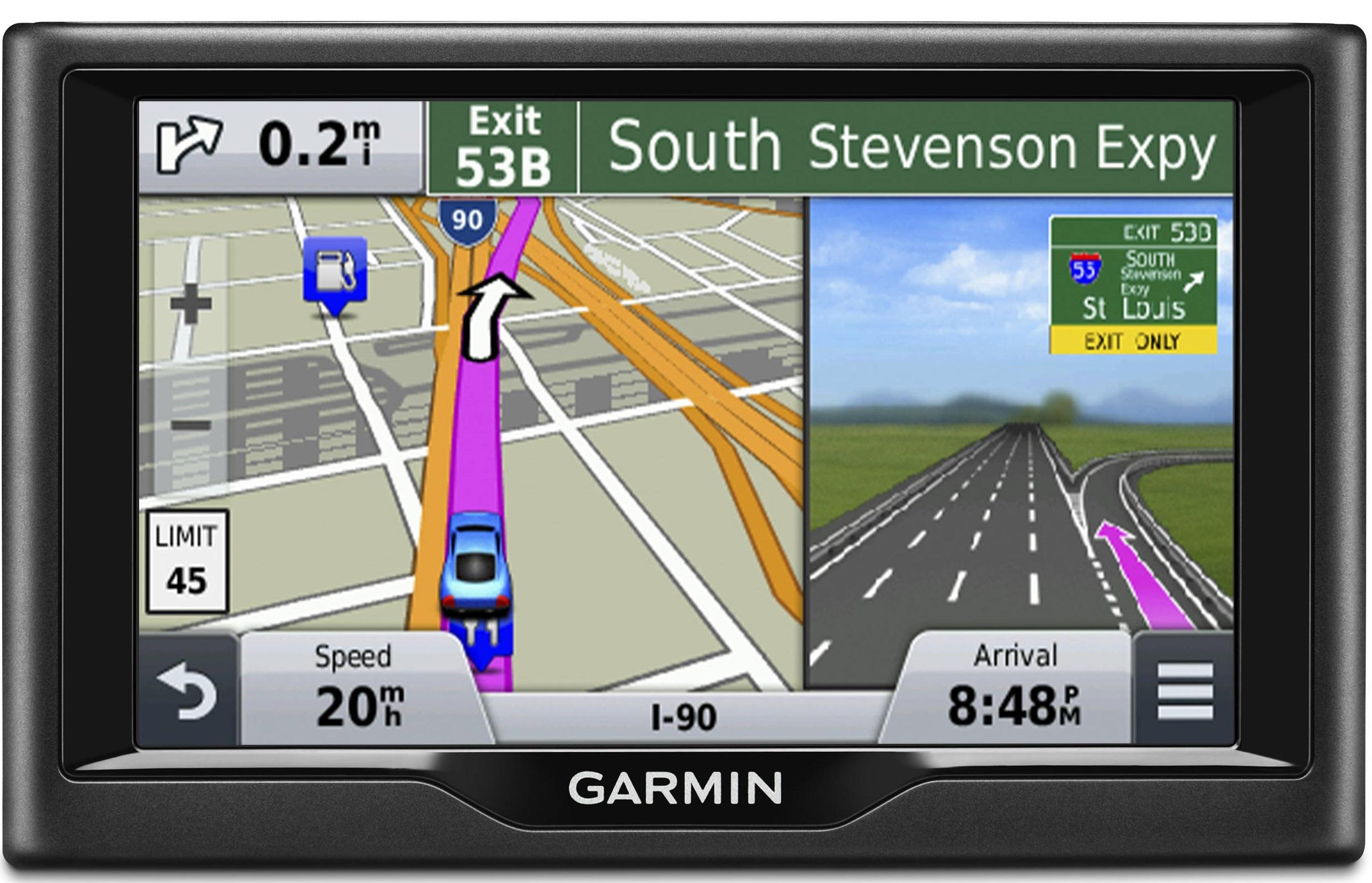
The Maps app still doesn't have the so called "Junction View" which is available in Garmin's Nuvi GPS products (see image below). I wish Apple could add this feature soon :)
