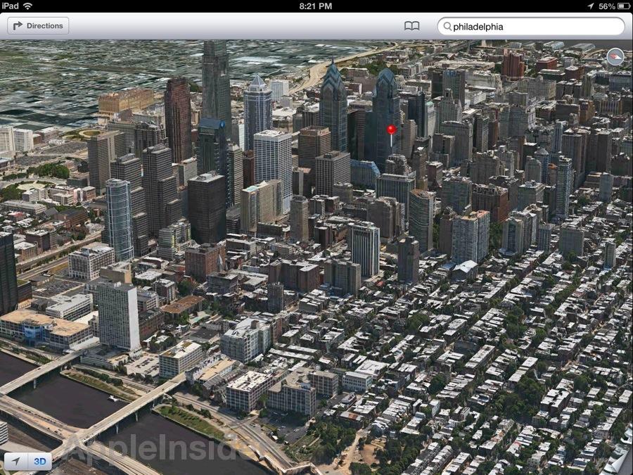
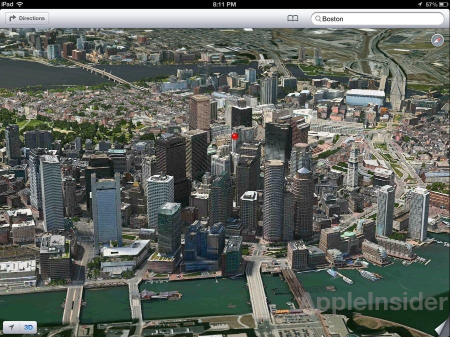
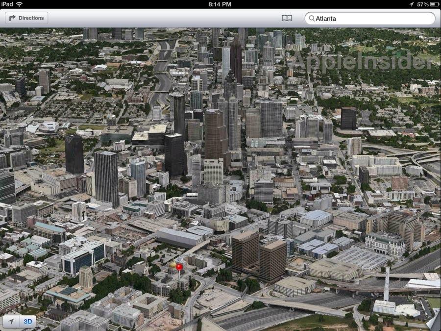
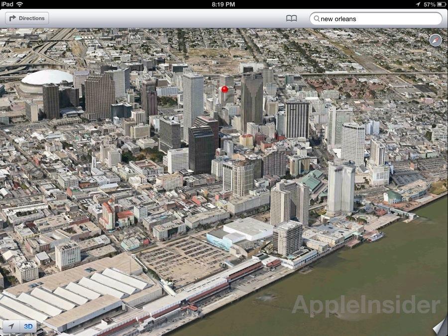
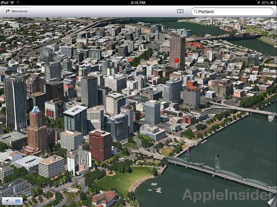
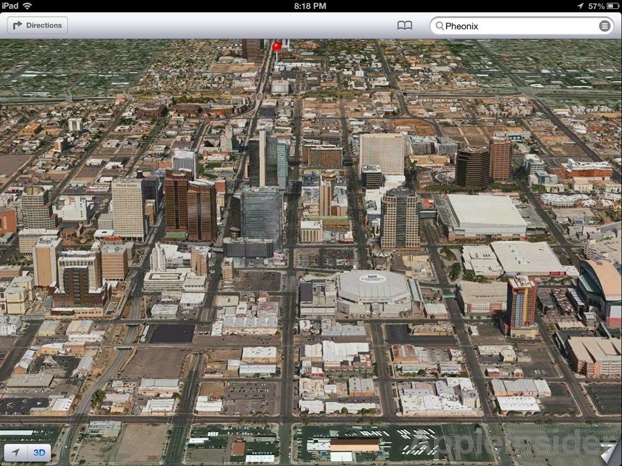
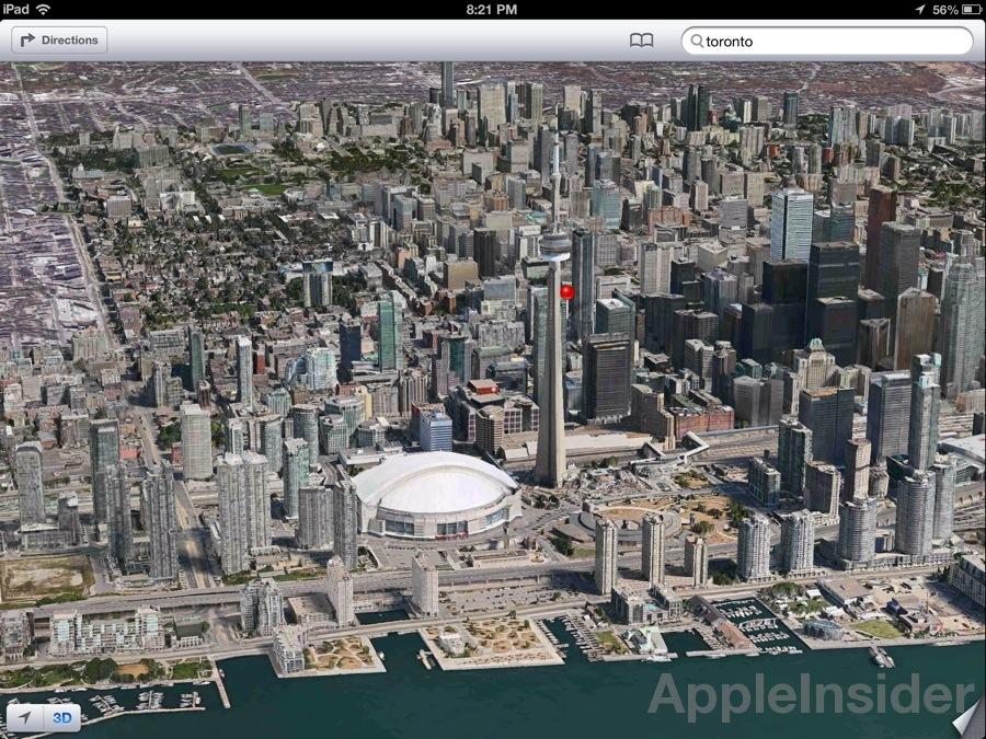
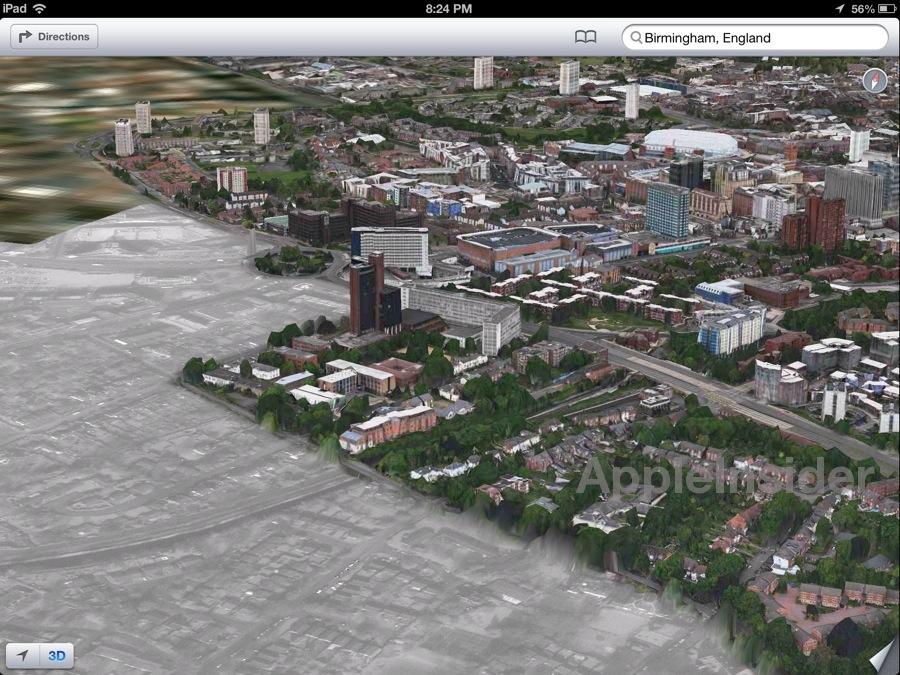
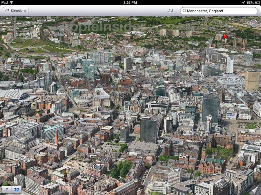
In preparation of rolling out its newest mobile operating system, Apple has updated its Maps app to include so-called "flyover" data for a number of major cities worldwide, including Philadelphia, Manchester and Toronto.
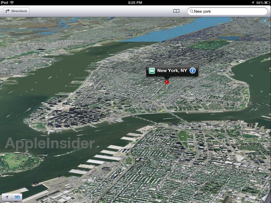
It should be noted that the iPad maker has yet to include New York as one of the 3D-capable cities, possibly over terrorism concerns.
New York has yet to receive the flyover treatment in iOS 6 Maps.
Apple announced at WWDC 2012 that it would be ditching Google Maps for its own proprietary mapping service borne out of a 2011 acquisition of Swedish 3D mapping company C3 Technologies, a spin-off from Saab's AB defense arm. A recent side-by-side comparison between 3D maps created in iOS 6 and the new function in Google Maps gave a slight edge to Apple's solution in terms of resolution and rendering speed.
The new iOS 6 Maps app will feature TomTom-powered turn-by-turn navigation with integrated Siri support, Yelp recommendations and vector-based mapping for fast 2D rendering.
More information on Maps and other new iOS 6 features can be found in AppleInsider's First Look: iOS 6 series.
Page 2 of 2: U.S. Cities, Canada, UK
Canada
United Kingdom
 AppleInsider Staff





 Malcolm Owen
 Amber Neely


 Christine McKee


 Chip Loder
 Marko Zivkovic



106 Comments
wow, of all the thousands of densely populated cities in Canada they managed to include ... one.
great /s
I'd venture that flying multiple passes over everywhere is easier than trying to drive down every road in every town in every state/province/prefecture/oblast in every country on the planet.
And combined with street shots of businesses, et. al., is a full-on equivalent of the now-discontinued QuickTime VR really the best solution?
wow, of all the thousands of densely populated cities in Canada they managed to include ... one.
great /s
But it's Toronto, eh; it's the important one, there.
And yes, I know about the whole 'western provinces aren't getting proper representation' thing going on. You do know it's a beta, right?
yah yah yah. Looks cool, totally useless. They best have transit when it comes out or you're gonna piss off all these city people when they can't get around any more.
[quote name="Gazoobee" url="/t/151771/apple-adds-more-3d-cities-to-ios-6-maps#post_2163172"]wow, of all the thousands of densely populated cities in Canada they managed to include ... one. great /s [/quote] Give them time. This isn't some thing you can do in a day. They will get to as many places as they can as quick as they can Including New York, which is likely due to complexity. Not terrorism. After all, terrorists will attack anywhere, not just New York.
WOW...
That's just magical. The rest of the world will appreciate the lack of content and no street view.
iOS 6 is looking like it's going to go over about as well as Yahoo with the lack of any real map program or youtube.