 Roger Fingas
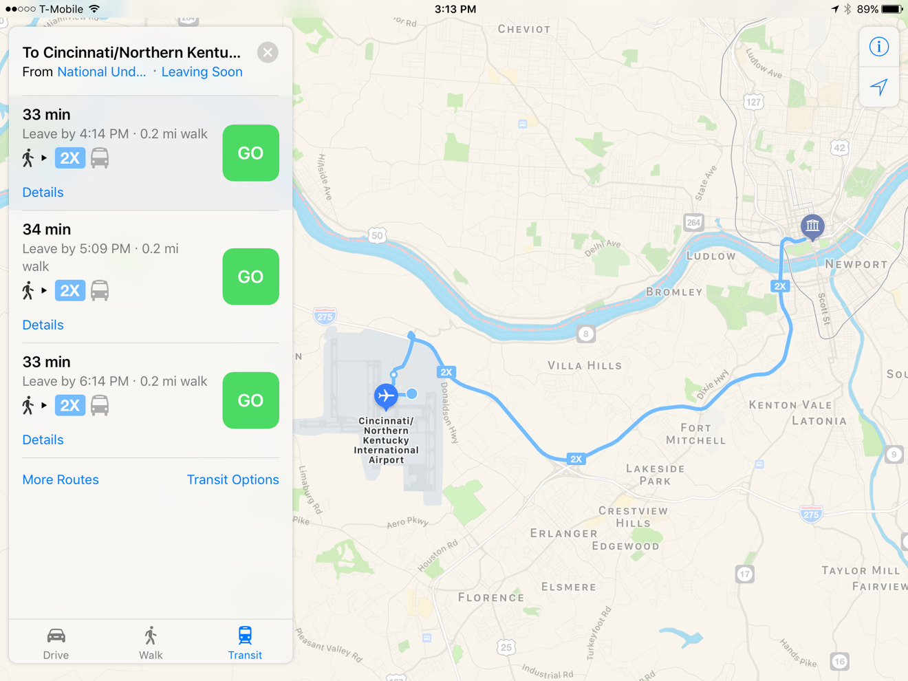
In an unusually aggressive expansion of its American coverage, Apple on Monday added several Ohio cities to its Maps transit support for iOS and macOS.
The new cities include Akron, Athens, Canton, Dayton, Cincinnati, and parts of Cleveland. Columbus was added last month, just before the launch of iOS 10.
Within each city Maps users can now navigate via bus and rail routes where available. As usual, each route is color-coded, and includes alerts about service issues.
Apple has been gradually restoring Maps transit coverage since the launch of iOS 9 in 2015. It was stripped out with 2012's iOS 6, when Apple decided to abandon Google Maps content in favor of other partners — temporarily sacrificing features and accuracy.
Typically the company has only been adding one or two cities at a time, in the U.S. and elsewhere, presumably because of the nuances of securing and implementing each transit network's unique data. Another recent exception was the debut of transit options in Japan.


 Wesley Hilliard
 Christine McKee
 Malcolm Owen
 William Gallagher
 Andrew Orr


-m.jpg)


3 Comments
Nice!
Still waiting for it here in Belgium...