Citing a recent uptick in accidents at grade crossings, the U.S. National Transportation Safety Board on Monday issued a safety recommendation asking 11 technology and delivery companies, including Apple and Google, to integrate the locations of more than 200,000 such crossings into their respective digital mapping products.
According to The New York Times, Apple is already working to add NTSB rail data to Maps, a move that could save the lives of iOS device users, after the Federal Railway Administration lobbied for integration in April.
Grade crossings, or level crossings, are defined as intersections where a rail line meets a roadway, and have become increasingly dangerous areas thanks in part to the rise of digital mapping services.
In its safety recommendation, the NTSB cites the case of Jose Alejandro Sanchez-Ramirez (PDF link), who in early 2015 lodged his Ford F450 truck on a California railway after misinterpreting directions from Google Maps. Sanchez-Ramirez, apparently suffering from sleep deprivation, abandoned the vehicle. An Amtrak commuter train subsequently collided with the truck, killing the engineer and injuring 32 others.
At the time, Google's mapping application did not incorporate grade crossing data, according to NTSB findings. The federal safety agency argues that had Google Maps included such information, and perhaps a warning, Sanchez-Ramirez would have been less likely to mistakenly turn onto the tracks.
The NTSB report notes Google agreed to integrate grade crossing data from the FRA into its app in June 2015, with Apple, Garmin, HERE, and TomTom doing the same this past April. However, a number of companies that promised to integrate GIS data into their navigation apps were unwilling to provide an estimated completion date, prompting today's NTSB safety recommendation.
Along with Apple and Google, the NTSB is calling on Garmin, HERE, TomTom, INRIX, MapQuest, Microsoft Corporation, Omnitracs, OpenStreetMap US, Sensys Networks, StreetLight Data, Teletrac, and United Parcel Service of America to integrate the grade crossing and other rail data into their respective digital services.
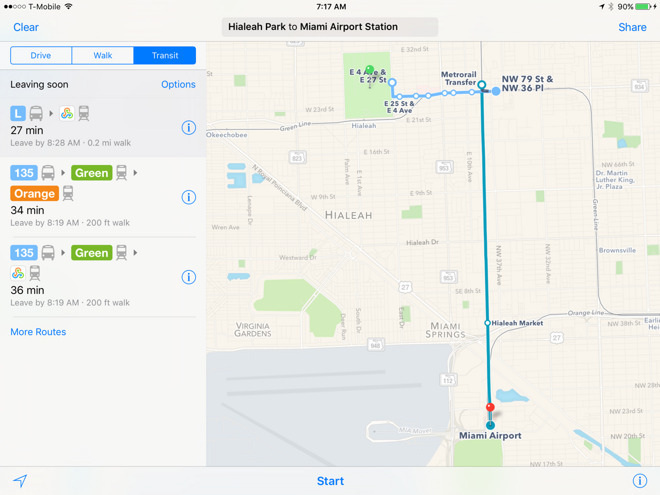
Apple is currently in the process of building out its Maps product to include a variety of commuter transit services, the most recent addition being train routes in Salt Lake City, though the feature is not thought to incorporate GIS data. If and when grade crossing data shows up in Maps, it will likely appear as clear graphical demarcations or perhaps warnings in the app's turn-by-turn navigation system.
 Mikey Campbell


-m.jpg)


 Charles Martin

 Malcolm Owen
 William Gallagher

 Christine McKee
 Wesley Hilliard


8 Comments
Another great reason to use mapping apps. In Australia it is not uncommon for accidents to occur where a car, being driven at night on a long, straight outback road, plows into a freight train blocking a level crossing. Just a warning from Siri, like "Level Crossing one kilometre ahead. Slow down and check for trains", could save many lives.
Really?! I need another interruption to tell me that there is a RR crossing ahead. No s**t Sherlock. Roads must pretty be safe these days if the Feds are now worried about people not seeing RR crossings or trains in their path. Probably be cheaper to do vision checks on every driver in America and give them free glasses if needed. Unbelievable.
Maybe I'm missing something from the article, but, since when is it the map maker's responsibility to tell you about the grade of the crossing? We've had paper maps for decades that were used for navigation. It was always the driver's responsibility to watch the road and obey the rules of the road. Being sleepy while driving is not an excuse. If you're too sleepy to drive safely, then you pull over. That's always been the rule of thumb. If Jose was too sleepy to know that he was about to drive over some tracks, then he is at fault. Not google maps because they didn't warn him about upcoming train tracks.
It doesn't bother me a bit that somebody's mellow might be harshed by an alert. FWPs. However, if I were a patient man, I'd try to find out how many accidents were the result of someone not realizing (for whatever reason) that there was a grade crossing ahead as opposed to a driver deliberately ignoring signs and going around traffic arms in an attempt to beat the train.
Where I live, the car vs train collisions are numerous and almost 100% caused by drivers trying to beat the train. I don't see adding this info to GPS maps doing anything to help that.
Again, I'm curious as to the NTSB's data. The cited example would indicate to me that sleep deprivation was the problem and not a lack of information from Google.
It doesn't bother me that the NTSB asked that this information be include, nor that vendors have complied with the request. Not sure why anybody would think this puts their tit in the wringer. It doesn't cost me anything and if it prevents an accident, good deal.