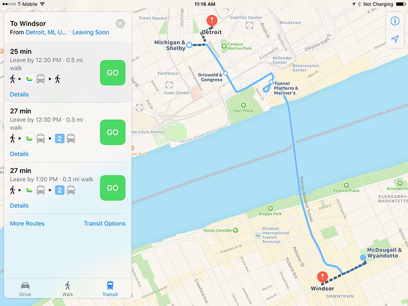
Apple this week updated its Maps apps for iOS and macOS with public transit directions for Detroit, Mich., as well as the neighboring Canadian city of Windsor.
In both cases directions cover the surrounding suburbs, as well as cross-border travel, something unusual in Apple Maps. Most of Apple's transit support is based in cities that aren't immediately adjacent to another country.
In Detroit riders can navigate via the city's various buslines, as well as Amtrak trains and the People Mover network. Windsor-based routes are limited to buses.
Apple has so far concentrated on adding transit support to the U.S., most recently adding New Orleans as a supported city in time for this month's Mardi Gras celebrations. China, Japan, and the U.K. are also relatively well-supported.
Canada is better covered than most countries, but still has just a handful of cities. Beyond Windsor, these include Montreal, Toronto, Vancouver, and Victoria. Some major gaps remain, such as Edmonton and even the country's capital, Ottawa.
Apple's expansion efforts have been relatively slow since reinstating transit support with 2015's iOS 9. The company stripped out the feature in iOS 6, determined to remove all Google content from Maps and transition to data from a mix of third-party sources.
That created some headaches, not just in forcing people to use third-party apps for transit, but in repeated problems with inaccuracies or missing details. Many of these issues have since been cleared up.