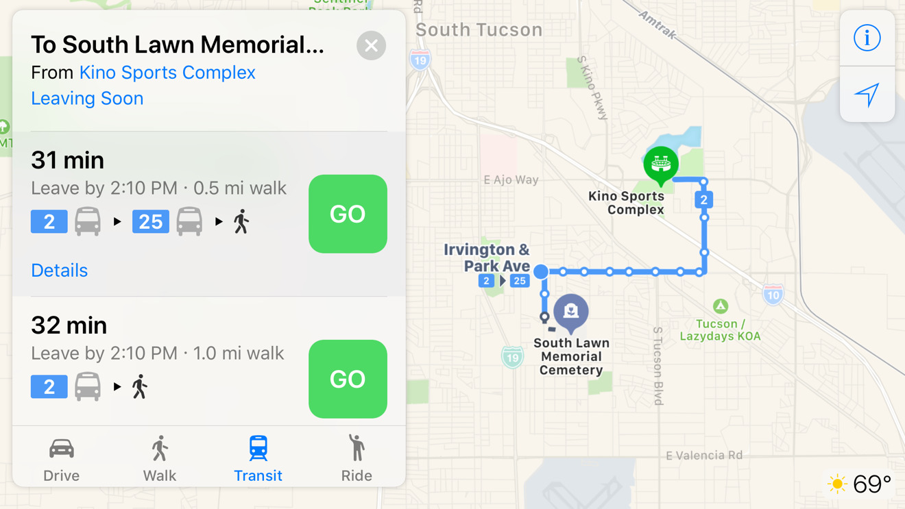
Thanks to behind-the-scenes updates, visitors and residents of Tucson, Ariz. can now use Apple Maps to figure out public transit directions across the city.
SunTran riders can get detailed information on stops, route numbers, departure times, and any walking involved in navigating their route. Amtrak routes were already available, thanks to separate information from the nationwide rail network.
Much of Apple's transit support is focused in the U.S., though there is also extensive support in China, Japan, Ireland, and the U.K. Even countries like Canada only have a handful of covered cities, and many regions — such as France — have just a single city if any.
Last year the company began adding indoor maps for major international airports, making it easier to find gates and amenities. Apple is expected to grow its indoor mapping efforts through 2018 and beyond.