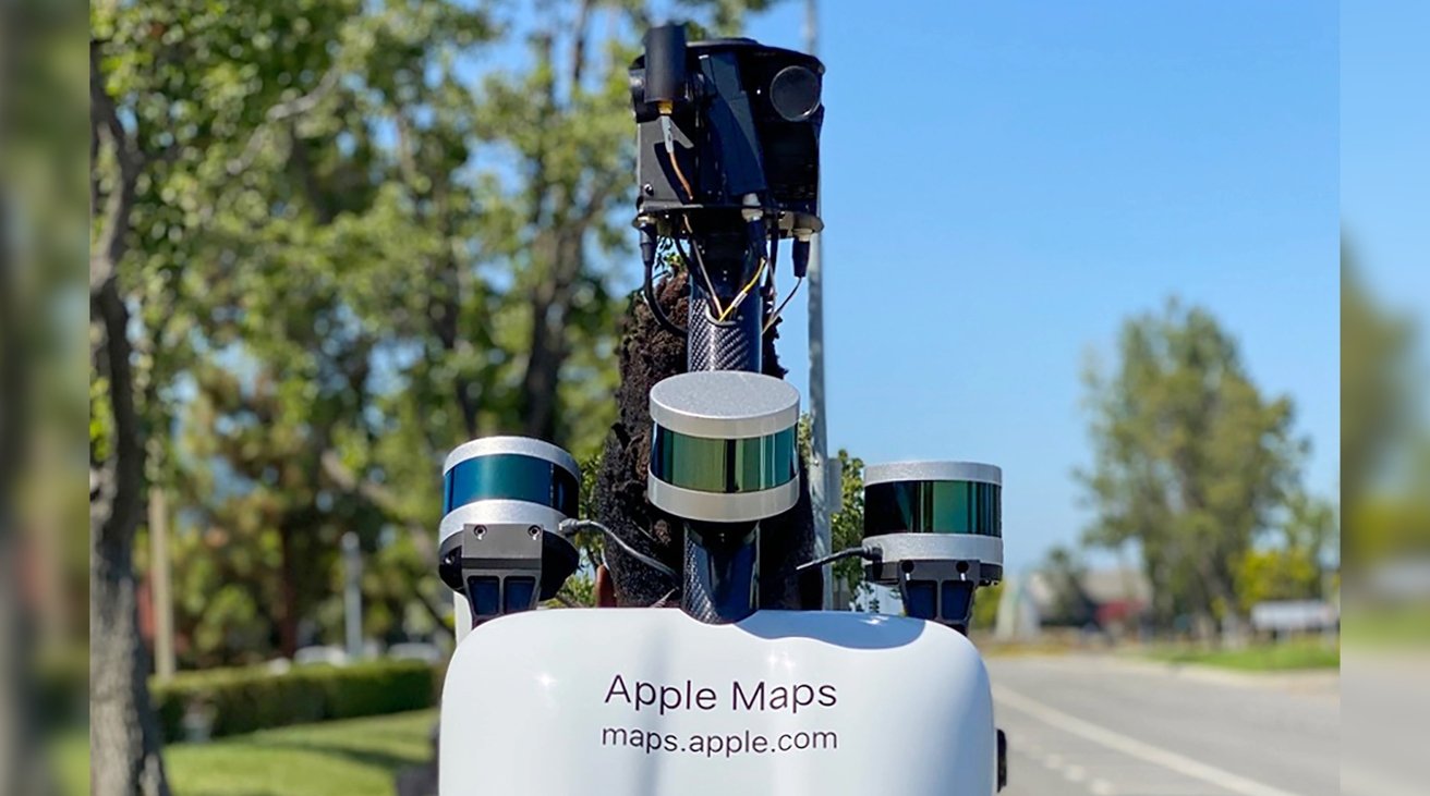
Four Apple Maps teams will be hiking across Cologne in order to build up data for the mapping service, from updating existing detail, to adding new pedestrian routes.
Continuing its plan to expand Apple Maps coverage in cities with areas that can't be driven by the service's usual cars, Apple is sending teams to Cologne, Germany.
According to Macerkopf, four teams will be on foot in the city from April 11, 2022. It's expected that the backpack-wearing pedestrian teams will be collecting data until around July 4, 2022.
Earlier than that, around April 22, the teams will be supplemented by Apple Maps cars which will update the service's existing data.
Officially known as Apple Maps Image Collection teams, the hikers will wear backpacks that contains what Macerkopf describes as a more compact version of the equipment used in the service's cars. The backpacks reportedly also utilize LiDAR to increase the accuracy of data collection.
Apple does have an online list of regions it is sending image teams to, but at present its listings for Germany are months out of date.
 William Gallagher


 Charles Martin
 Marko Zivkovic
 Andrew Orr
 Amber Neely

 William Gallagher and Mike Wuerthele


5 Comments
As far as I know, Germany does not allow street images collection.
Apple Maps sucks. I live in a large American city, yet I find that Apple Maps sometimes sends me on wild goose chases to places that don’t exist. Also, what is with the directions always defaulting to the routes without tolls, no matter how much longer they are?