Affiliate Disclosure
If you buy through our links, we may get a commission. Read our ethics policy.

Apple quietly launches new app to help firms improve Apple Maps

A screenshot of the new Surveyor app on an iPhone 15.

Apple appears to be expanding its pool of partner companies supplying data for Apple Maps, as it has now released an app especially for firms to contribute updated information.

Just as it did with the Apple Vision Pro Demo Fit app — releasing it in the App Store but practically hiding it, Apple now has another new app. This one is called Surveyor, and while it is available in the US App Store, it does not appear to be intended for public use.

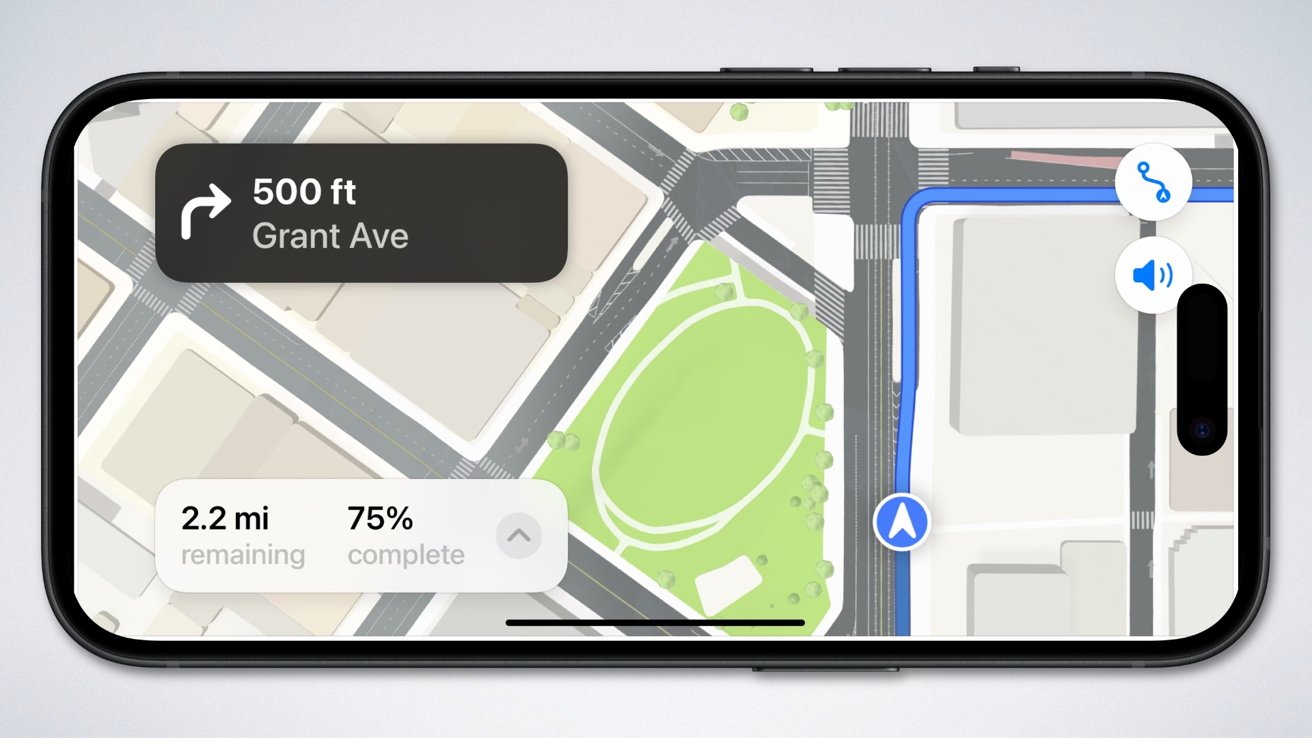
Rather than the GPS tracking, multiple cameras and LiDAR scanning that Apple's fleet of Apple Maps cars use, Surveyor is intended to capture images of street signs. While members of the public can already send certain updates to Apple Maps, this appears to be more about getting the company extensive information without its own cars having to repeat routes.

As first spotted by MacRumors, the Surveyor app itself initially appears to do nothing but give the user a button called "Open Partner App." While the phrasing suggest that there could be multiple partner apps, at present choosing the option solely opens one called Premise.

This app is part of a service that rewards users for undertaking certain tasks, typically such as completing surveys. Given the lack of promotion in the App Store and the paucity of detail in Apple's Surveyor app itself, it seems most likely that the app is intended to be used by employees of as-yet unknown companies.

Watch the Latest from AppleInsider TV

However, according to code within Surveyor, it appears that whoever uses the app will be instructed to mount their iPhone and drive while using Apple's app. It will then record and relay details including street signs.

Separately, it has recently been rumored once more that Apple is considering adding search ads to Apple Maps. This could mean firms being able to pay to feature more prominently in Apple Maps search results.

3 Comments

Bl1p New User · 2 comments

We pay enough for their devices, they can fix the rubbish that is Apple Maps globally themselves!

1 Like · 3 Dislikes
yyzguy 1 Year · 50 comments

I was in my front yard when the Apple mapping car drove by.   That was about 5 years ago and they still haven’t posted Look Around in my city.   Google’s Street View shows my house as it was in 2011, so 14 years and counting 

1 Like · 0 Dislikes
mpantone 19 Years · 2308 comments

First of all, just because an Apple (or Google) mapping car drives by doesn't automatically mean that its recording equipment is operating. And not all of the data that the car records will be automatically used.

Apple -- like Google -- will focus on highly trafficked areas. Downtown, business zones, shopping districts, transit centers, tourist attractions, landmarks, and other points of interest over residential neighborhoods.

Also, this article doesn't discuss what sort of tools are being deployed and exactly what sort of data third parties will update.

For sure both Apple Maps and Google Maps don't just display mapping data.

There are things like store hours, type of business, phone and URL, transit routes, what forms of payment are accepted, what floor in a multi-story building, etc. Some things like gas prices at the corner gas station need to be updated in a timely manner and not be dependent on a mapping car drive-by.

It's not just a pindrop on a map or a photo of the front door. It could just be a new store in the basement shopping mall under Tokyo Station. Or a restaurant that is now open for lunch on Mondays.