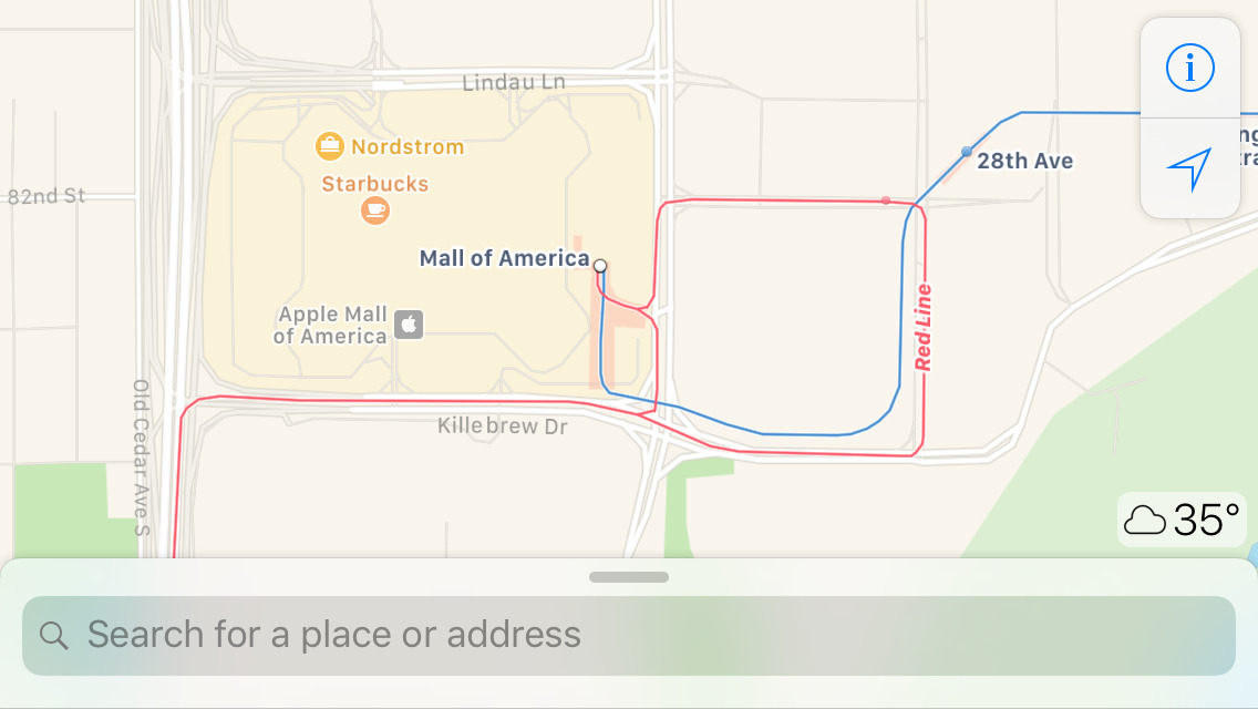
Apple on Monday continued the expansion of public transit directions for Maps, adding systems for the Minneapolis-Saint Paul metropolitan area in Minnesota.
Users of the iOS and macOS Maps apps can now navigate via the region's bus and rail lines. Different lines are marked with their official icons, and where possible, the apps will present several route options to choose from.
Most of the cities Apple supports in Maps are located in the U.S. and China. In the States, locations with public transit added prior to today include Atlanta, Austin, Baltimore, Boston, Chicago, Cincinnati, Cleveland, Columbus, Dallas, Denver, Ft. Worth, Honolulu, Kansas City, Los Angeles, Miami, New York City, Philadelphia, Pittsburgh, Portland (Ore)., Sacramento, San Antonio, San Jose, San Francisco, Seattle, and Washington D.C.
To date, Google Maps continues to offer wider transit coverage. Apple does, however, offer a top-down view of train and subway stations in some cities, a feature that Google lacks.
Apple notes that it currently gets data from over 250 transit agencies, and its station data maps over 16,000 entrances across supported cities. Implementation of new locations is much more complicated than it appears at first glance — each location added spans ground exceeding just the city it's centered in, and has to be customized.