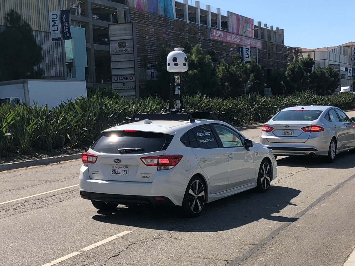
Apple will soon begin collecting first-party data in Austria to expand the Apple Maps "Look Around" feature and to improve navigation.
According to German-language news outlet DerStandard, dozens of Apple vehicles will begin mapping the streets of Austria for the company starting on July 5. The initial rollout will focus on vehicular — and not on-foot — mapping, the publication added.
Apple maintains a list of regions and countries where its vehicles are collecting first-hand images for Apple Maps. As of Thursday, Austria has not been added to the list.
The Cupertino tech giant has been improving its Apple Maps experience in recent years.
For example, Apple rolled out an improved map experience in 2020 to all users in the U.S. Relying heavily on first-party navigation data, the new Apple Maps features much more accurate and faster directions, as well as more detailed information about local landmarks.
In iOS 13, Apple introduced a "Look Around" feature akin to Google's Street View. As of writing, the feature is available in 28 cities in the U.S., Japan, Ireland, and the United Kingdom.
Keep up with everything Apple in the weekly AppleInsider Podcast — and get a fast news update from AppleInsider Daily. Just say, "Hey, Siri," to your HomePod mini and ask for these podcasts, and our latest HomeKit Insider episode too. If you want an ad-free main AppleInsider Podcast experience, you can support the AppleInsider podcast by subscribing for $5 per month through Apple's Podcasts app, or via Patreon if you prefer any other podcast player.
 Mike Peterson


 Charles Martin
 Christine McKee
 Wesley Hilliard
 Malcolm Owen
 Andrew Orr
 William Gallagher
 Sponsored Content


15 Comments
It’s only starting now?
get serious or get off the pot.
Still not live in the USA outside of a few cities and they are already moving on to Australia?
Most of the data collection according to https://maps.apple.com/imagecollection/locations/ seems to be this year. What have the Apple maps cars been doing for the previous 5 years then?
Google is so unbelievably far ahead in this I have no idea why Apple is wasting money on it. Google has surveyed my area 3 times since 2009, meanwhile Apple has surveyed an entire two cities in the UK in 2 years, despite the fact people have been seeing the Apple maps cars around for years. They're never going to catch up, and the rate at which they add data is glacial. What happened to Flyover? They've not added anywhere new in the UK for years. It's a joke. Which is a shame because - to use the widely used name, Apple's Street View is way better than Google's.
I've reported places closed or moved and the issue has been apparently "resolved", only for the same issue to continue to exist. Places that have closed or moved, places that have the wrong location on the map, wrong metadata, all reported, "resolved" and ignored. I don't bother anymore.
For now, I’m sticking with Google maps.