The new Apple Maps update brings custom 3D landmarks to the city of brotherly love.
In September, Apple announced that Apple Maps would be gaining a new feature — the addition of 3D navigation and exploration features. The first cities to receive the features were London, Los Angeles, New York City, and the San Francisco Bay area.
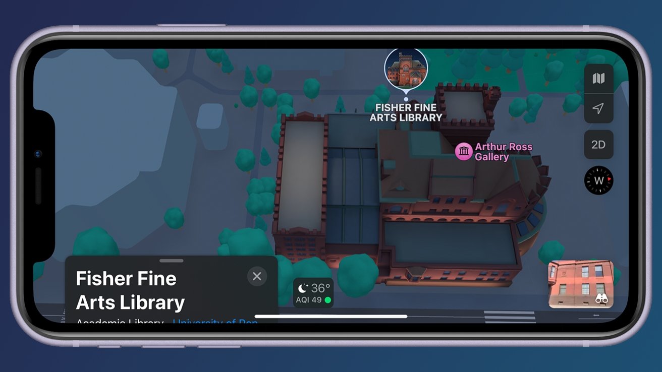
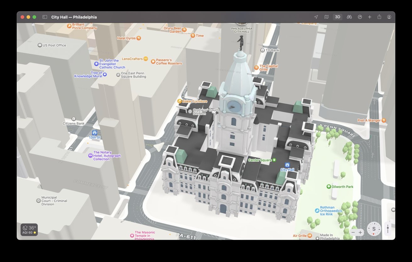
Now, Philadelphia gets its turn, as noted on Apple's Feature Availability page for Apple Maps. You can check out the new 3D models added to Philly by viewing the city on your iPhone, iPad, or Mac.
Landmarks include locations such as the Fisher Fine Arts Library, the 30th Street Station, One Liberty Place, Philadelphia City Hall, and the Philadelphia Museum of Art.
Apple has been working to improve Maps as it begins rolling out new features to major cities across the globe. On December 10, Apple rolled out updates for Australia, adding new features such as Look Around and Share ETA and improving existing navigation features.
 Amber Neely


 Malcolm Owen
 William Gallagher


 Wesley Hilliard


 Christine McKee

-m.jpg)


3 Comments
Nice, but still so much (2D-)information missing.
Having lane information, especially around busy and convoluted intersections like Broad & Market at City Hall is key for out-of-towners. As one of my friends from Colorado complained years ago, "in Pennsylvania, you might get 1/10th of a mile warning on the Freeway" (sic) [Schuylkill Expressway] that your exit is coming up. He was right. Now that digital maps are here, you get more warning, but more importantly, you know which lane you need to be in. Waze still sucks at that. And PRIVACY is still a huge issue with the Google apps like Google Maps and Waze. Not with Apple Maps.
“Rolling out”? How about “trickling out”?
I have a question for anyone fortunate enough to be in a town with this feature: does it also show on carplay?