France, Monaco, and New Zealand all now have updated terrain and road details as Apple Maps' new map data reaches sixteen unique locations.
New in Apple Maps are better highlighted areas, redesigned name labels, updated terrain information, improved visual clutter, as well as the addition of 3D models in locations for those three countries.
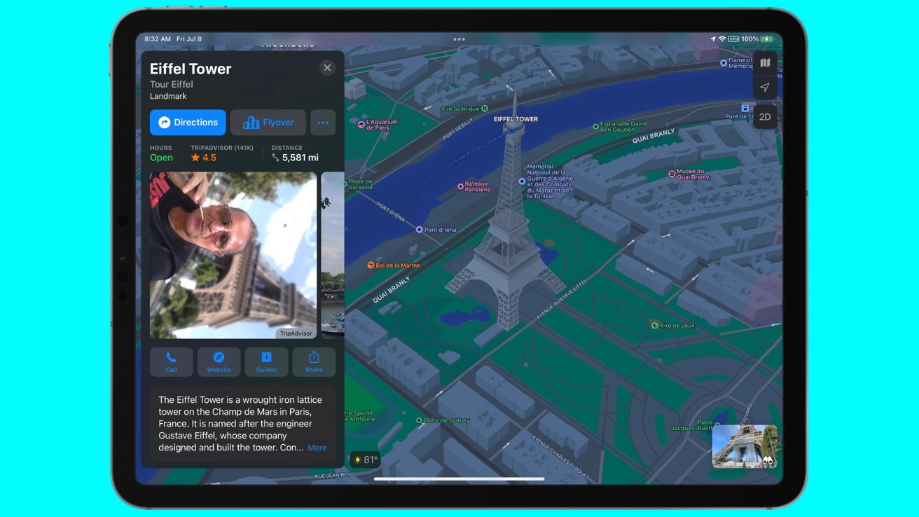
The most notable changes are in the metropolitan areas. In the case of Paris, France, businesses have been updated and re-organized in its presentation, and sites like the Eiffel Tower now has a 3D model in Flyover.
The new information covers a total population of 70.4 million among the three countries, and was a culmination of 39 days of public testing, according to mapping enthusiast Justin Oberine, who has been tracking the evolution of Apple's data collection for Apple Maps.
Oberine noted that the mapping data Apple has collected has now reached 19% coverage of the Earth's land area, and almost 10% of the world population.
Apple Maps has been continuously updated with new mapping information, as part of a global initiative that started in 2018. Earlier in April of 2022, Germany and Singapore received a similar facelift in its data with better detailing in labels, highlighting, and landmark modeling. June brought better information to 11 more countries, as well as the debut of multistop routing.