Apple Maps is on every iOS, iPadOS, macOS, and WatchOS device. Utilizing their newly relaunched maps, made entirely in-house, the new maps app is as capable as ever. Turn-by-turn navigation, traffic updates, lane guidance, traffic signs and stop lights, and even transit data shape a robust and private experience.
Apple does not collect identifiable user data, share it with third parties, or show users ads based on their searches.
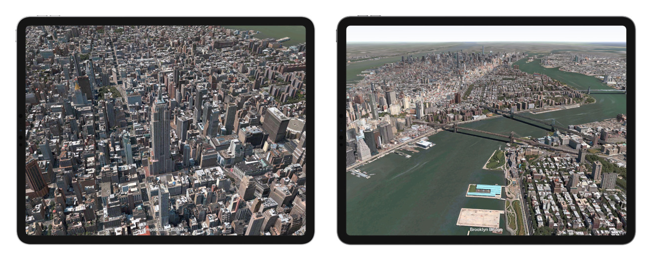
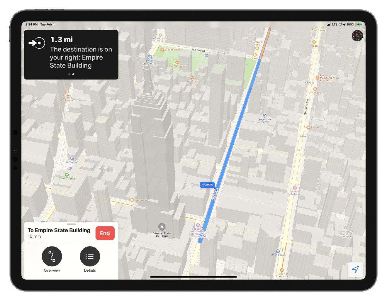
Apple Maps implementation
Thanks to using methods like on-device machine learning and differential privacy to teach Siri when and where you go, Apple Maps is a private and secure experience. For example, users can see a notification for their next destination based on usage history, calendar data, iMessage data, or reminders.
Users can also make Maps more intelligent by saving known addresses to contacts or creating collections in maps.
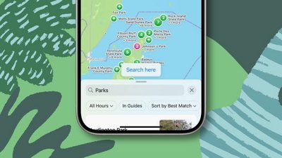
 Collections let you save groups of locations for trips or just reminders
Collections offer a way to save and label lists of location data for later referencing. Users can organize these collections by name or distance, which can come in handy for someone running errands who needs to know which errand is closest next.
Another handy use is having your friends contacts updated with their home addresses, then adding those to a collection called friends, so you have quick access to your friends' addresses for navigation at any time.
Maps will pull your home and work locations from your contact and make them favorites in the Maps app. You can also assign specific locations as favorites, that way, your most traveled destinations are always at the top of maps, ready to go.
Siri offers a lot of functionality with Apple Maps as well. You can call on Siri for specific directions, closing times, business information, or find a gas station along the route. By integrating Siri deeply with maps, users can safely control their navigation while driving by being completely hands-free.
Siri Intelligence will also alert you when traffic has slowed, and you need to take a detour, but unlike other mapping apps, it will ask if you want to make the change.
 Flyover tours let you experience a bird's eye view of famous landmarks
Apple has made maps a fully functional travel assistant too. Go look up a destination ahead of a trip, take a flyover tour of the city if available, and add landmarks and restaurants to a collection for use while in town.
Maps will even mark the location of your parked car when using CarPlay or Bluetooth. The device will note your location when disconnecting from a known vehicle.
Privacy and security are built-in from the ground up. If you get directions to a place, your route isn't uploaded to the server for data analysis. Instead, your route is chopped up into pieces with different starting and stopping points along the way, then uploaded with individual identifiers to separate them in the system.
There is no conceivable way to attach any trip data to an individual user in Apple servers.
 No need to worry about your destinations being sourced for ads, Apple Maps is totally private
Apple Maps History
2024
2024 is shaping up to be a year of significant Apple Maps updates. At WWDC, Apple announced it would bring new route planning options geared toward hikers.
This new hiking option allows users to create and save hiking maps from their iPhone, iPad, or Mac and access them later from their iPhone and Apple Watch. It also added features for reversing routes and closing route loops to help hikers plan the perfect hike.
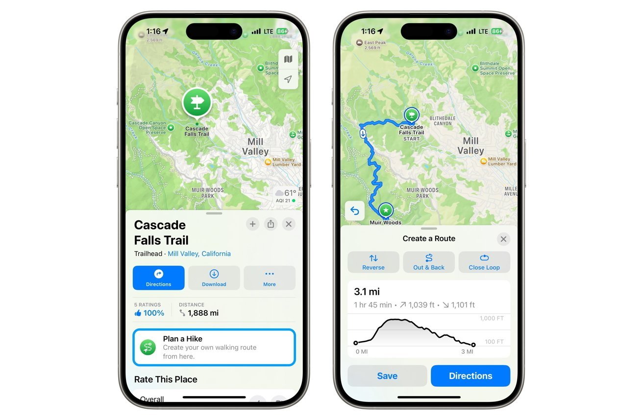 Planning a hike in iOS 18Planning a hike in iOS 18
In February, Apple began sending Apple Maps cars and team members with LiDAR backpacks to tour the UK. This will allow Apple to update its general mapping, navigation directions, and the Look Around street view.
2023
2023 was a year of quiet updates for Apple Maps, with most of the updates centering around more city and country-specific updates.
In January, Apple Business Connect allowed businesses to specify what information gets shown about them across all of Apple's services, ranging from Apple Maps to Siri.
 Apple Business Connect allows business owners to correct listing information for Apple Maps
In March, Boston received Detailed City Experience updates, with many of the city's iconic features receiving Pixar-like 3D treatment. That same month, Finland, Norway, and Sweden got Look Around and new 3D landmarks.
In April, an Apple Maps address mishap led dozens of people to one Texas man's home after Find My reported their missing devices were at his address.
In September, Apple added the ability to save Apple Maps for offline use when it rolled out iOS 17.
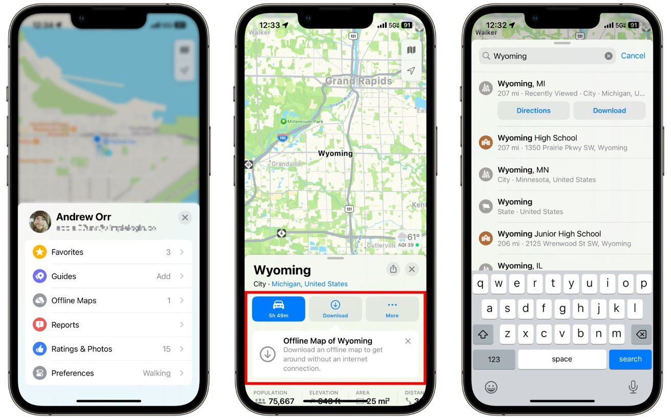 Using Apple Maps offline
2022
In 2022, Apple continued to expand its updated Apple Maps experience into more countries, adding features like Look Around, improved navigation, and 3D landmarks in select cities worldwide.
In March, the updates came to Toronto, Vancouver, and Montreal. New 3D landmarks included Montreal's Biosphere, Toronto's City Hall, and Vancouver's BC Place Stadium.
 Updated 3D features rolled out to Germany in 2022
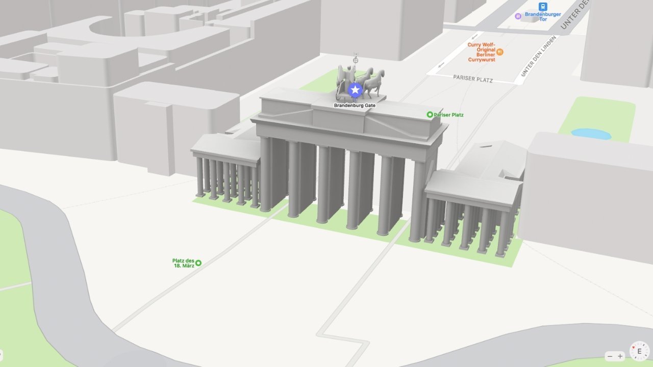
In April, it rolled out new Maps for Germany and Singapore. New 3D models were added for Singapore's Gardens by the Bay and Tiong Bahru Market and Germany's Brandenburg Gate, the Reichstag building, the Berlin TV Tower, the Elbphilharmonie Hamburg, and Neuschwanstein Castle.
Apple added new Maps data starting in France, Monaco, and New Zealand in mid-July. 3D Elements such as the Eiffel Tower, Notre Dame Cathedral, and Mont Saint-Michel received improved renders, and Apple Maps updated speed limits for select locations.
 Multi-Stop features rolled out alongside iOS 16
When iOS 16 rolled out in September, Apple added a new feature called Multi-Stop Routing. In iOS 16, iPad OS 16, and macOS Ventura, users were given the option to plan routes with multiple stops before the final destination. In addition to planning, users could also add a stop to a single-destination route that they were actively navigating.
In October, Apple named Max Muller as vice president of Apple Maps. A 20-year Apple veteran at the time, the new role saw him supervising Apple Maps, Find My, and the development of location detection and navigation features.
2021
Apple added a new system for reporting accidents, road hazards, and speed traps. The crowdsourced information will pop up while getting directions. This popular option has been available through third-party navigation apps such as Waze.
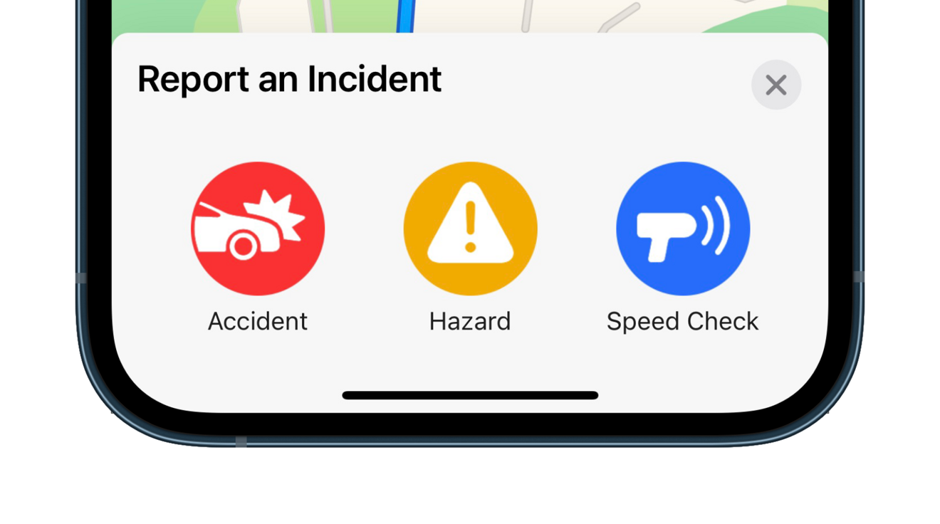 Report an incident while navigating
Maps can find COVID-19 vaccination locations thanks to an update in mid-March. Data is sourced from the Boston Children's Hospital's new vaccine tracking service. Another update later in March added COVID-19 guidance from airports.
A revamped 3D view began rolling out in select cities as of June. The new art style shows detailed views of landmarks and foliage. Trees, crosswalks, road signs, and more are shown in the detailed view.
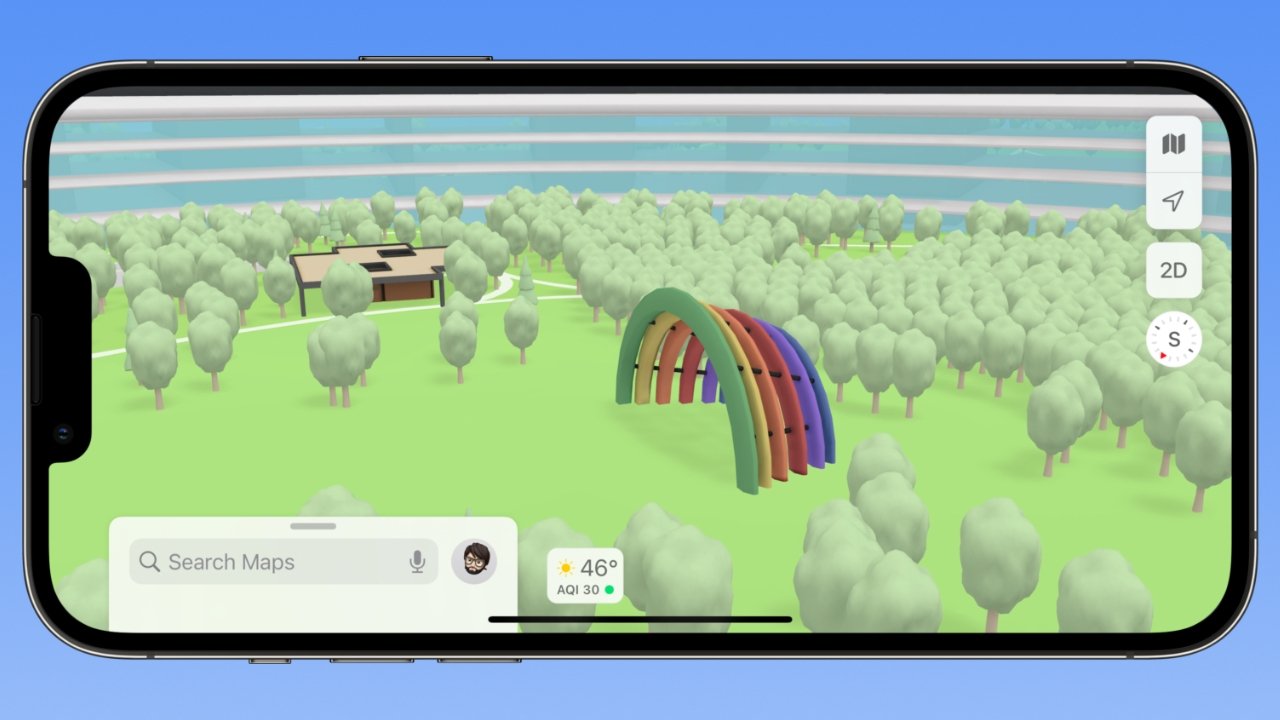 A 3D view inside Apple Park
Combined with the basic 3D view, the newly designed landmarks pop out in an almost cartoonish styling of the maps. The new style is created using Apple's new in-house mapping data and will become more widely available over time.
2020
As Apple releases new updates, new features arrive in Apple Maps. iOS 14 introduced speed camera avoidance and bicycle routing for the iPhone.
Genius Bar appointments, "Today at Apple" events, and product trade-in availability could become part of the Apple Store sections to provide users with a more detailed overview of a local store. This could also lead to other service providers like Apple authorized resellers or Best Buy gaining more detailed data in their Apple Maps listings.
Other business details that could be added to listings include children discounts, couples seating availability, private room availability, and theater details, including IMAX screenings. Such information will add to the Apple Maps experience and further close the gap between what Apple and Google offer in their apps.
Indoor maps are about to see a significant upgrade in terms of data sourcing and usability. A partner for the Indoor Maps Program has joined with Apple to begin mapping indoor spaces with AR features.
The company is called Dent Reality and wants to map all the public indoor spaces of the world with simple tools. The initiative would allow developers to build apps and web experiences using Apple's map API and Dent Reality's AR layer.
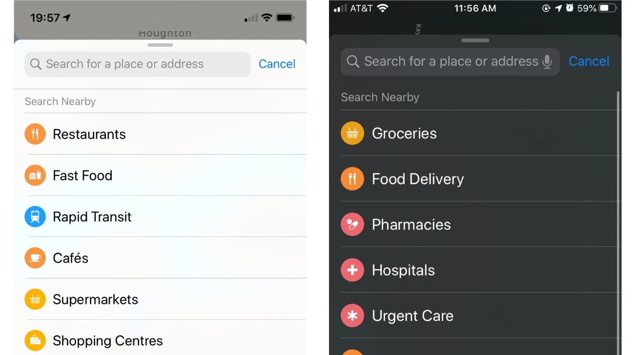 The old list (left), the updated list (right)
The coronavirus outbreak has caused Apple to approach many of its services differently, including its maps app. When users want to search for something, the categories presented pertain to finding food and emergency services.
According to Apple, the aggregated location data from Apple Maps will be publicly available until the end of the crisis and updated daily. A website for getting the data via a CSV package has been created, allowing users to see how well different areas worldwide are doing with the stay-at-home measure.
Apple has added coronavirus testing locations to maps, allowing users to easily find the nearest one.
During the protests against George Floyd's death, a street in Washington DC was painted with large letters saying "Black Lives Matter" and subsequently renamed Black Lives Matter Plaza. Almost as if it were a race for public perception, social media posts about the street name change reflected in Google Maps spread fast.
Apple was quick to follow, changing its satellite image to show the large painted letters, which looked almost like a photo of the words were pasted in rather than waiting on the satellite to pass over. The name was changed in Maps shortly after.
In June, the rollout of international features continued with England, Scotland, Wales, Sweden, Canada, and the Netherlands gaining transit support. This is the precursor to gaining Apple's updated map data, so the global rollout will continue as scheduled for 2020.
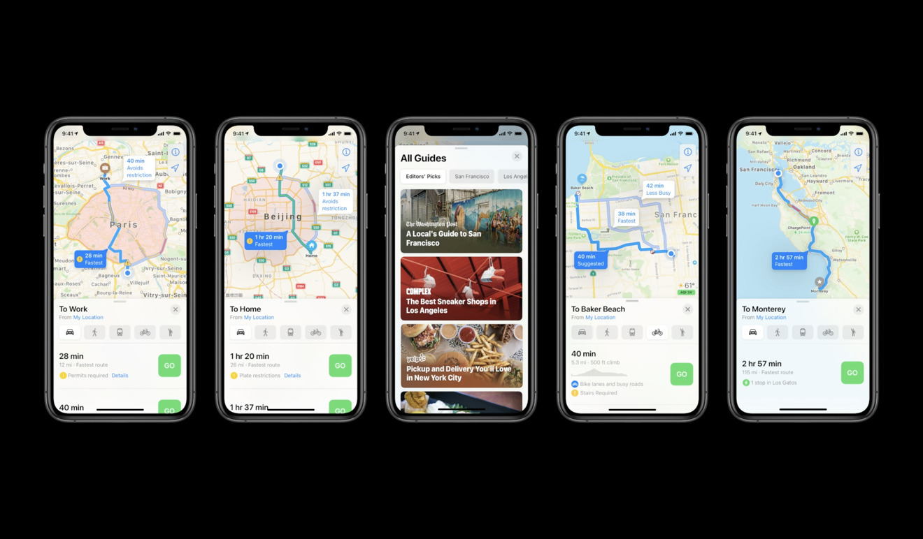
During WWDC 2020, Apple announced several updates to Apple Maps. To help people find new places to visit, Guides will feature listings from partner companies that may be of interest, including AllTrails, Complex, Time Out Group, and The Infatuation. Automatically updating over time, the Guides will feature venues, restaurants, and sights, among other topics.
A new cycling experience includes showing if there are stairs, steep elements, or other hazards for cycling routes. It became available in New York City, Los Angeles, the San Francisco Bay Area, Shanghai, and Beijing in the following months.
For electric car owners, EV Routing will automatically add charging points on a route and routing to take terrain into account and the range of the vehicle based on the battery charge.
Congestion and green zones will also be shown on Maps.
In August, Apple added Look Around to four cities in Japan as part of the global rollout of its new map system. The cities are Tokyo, Kyoto, Nagoya, and Osaka.
Look Around was also expanded to Phoenix, Denver, Detroit, Miami, and Fort Lauderdale.
2019
Apple spent much of 2019 rolling out the now-released version of maps with its own map data. DuckDuckGo made Apple Maps its integrated map application for search as a choice for user privacy. By the end of January 2020, the new rollout was complete, and Apple Maps was running on entirely in-house data across all 50 US states.
2018
The year reigned in Maps and saw more polish and quality of life additions. The building of Apple's new map data was well underway, and the year was spent refining the maps experience. A fleet of vehicles equipped with mapping radars traveled around the US to capture accurate data for the new design, first seen in 2015.
Pedestrians were given gear to walk around streets and mark building entrances for even more precise data.
 Look Around mode lets you see things from an eye-level perspective
2016
2016 saw a complete app redesign, allowing for a more clean user interface and easier-to-read details. Siri location suggestions, parked car reminders, and in-route search were all added with iOS 10.
By this point, Apple Maps had fully recovered from its terrible 2012 launch and had become the most popular mapping app on iOS. This was obviously due to its default install but also meant fewer users were switching away.
2015
Apple Maps had become a fully reliable map platform, as long as you weren't in the middle of nowhere. iOS 9 introduced public transportation to maps, and the Nearby feature, which let users find locations around them. The traffic delay feature was also launched, which notified users of faster routes in case of a delay.
2014
The addition of CarPlay enabled users to connect their iOS devices and view media and maps on the screen without fumbling with their device or paying for an additional service. CarPlay used Apple Proprietary and some third-party audio apps to enhance the experience.
Apple Maps worked as expected with voice control and touchscreens in the car.
 CarPlay lets you navigate and control media while driving
After the failed launch, Apple started working on re-releasing maps right away, hoping to make up for the lost trust of its customers.
In 2013 Apple acquired several companies associated with map data which spurred their way into interior mapping and transit data. iOS 7 launched in September 2013 with vast improvements across the board like real-time traffic data and walking navigation.
Mac OS X also received a Maps app that year, with calendar and contacts integration.
Launch
Apple hasn't always had its own mapping and navigation platform, initially relying on Google Maps for all of its onboard navigation. In 2012 this changed when Apple announced its navigation and map platform called Apple Maps.
At its initial launch, it relied on TomTom data and other third parties and, as a result, ran into errors in 3D rendering and location data. The app relied upon on-device rendering capabilities and included Siri add-ins, which meant that the new turn-by-turn navigation was limited to iPhone 4S and up.
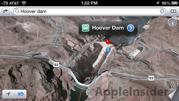 Apple Maps tried to combine too many resources, running into rendering like this
As a result of what was seen as a catastrophic release, Tim Cook publically apologized in a letter and even went so far as to recommend other map applications while Apple Maps was fixed. The Waze CEO has since gone on record to say that Apple's botched maps launch led to their ultimate success and acquisition by Google.
Scott Forstall, former Senior Vice President of iOS Software, was ousted due to the failed launch.
 Malcolm Owen
 Wesley Hilliard
 Andrew Orr
 William Gallagher