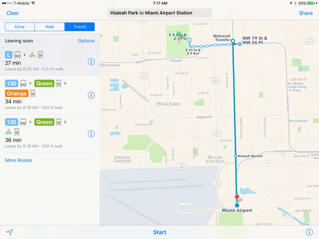
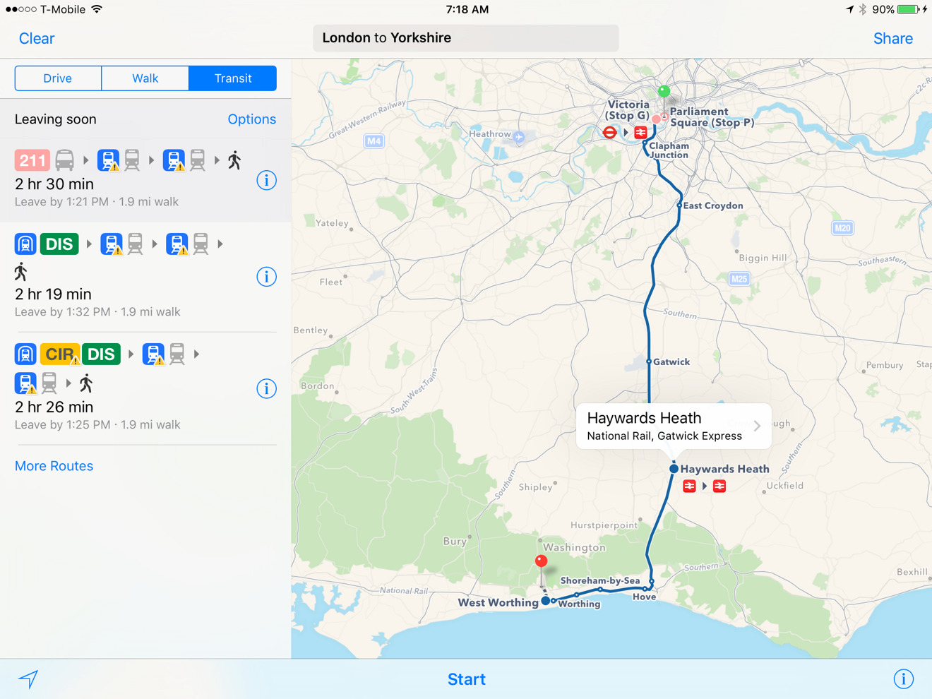
Apple on Thursday expanded the availability of Maps transit directions to the US cities of Atlanta and Miami, and to National Rail lines in the United Kingdom.
Users of the iOS and OS X Maps apps can now navigate around Atlanta and Miami's bus and rail systems. Different lines are marked with their official icons, and where possible the apps will present several route combinations to choose from.
National Rail support is particularly important for residents of the U.K., since it incorporates a number of different rail systems spanning the countryside and various cities. The addition should enable cross-country trips, though some cities have their own separate public transportation systems.
Maps' transit support is still relatively limited. Only a handful of cities in the U.S. are covered, and support is typically even thinner in other countries, which may have only one or two cities if any. An exception to this is China.
Apple could conceivably be planning to widening transit support with the launch of iOS 10 and the next version of OS X, both of which will probably arrive in the fall. The company will be previewing the pair at next week's Worldwide Developers Conference in San Francisco.