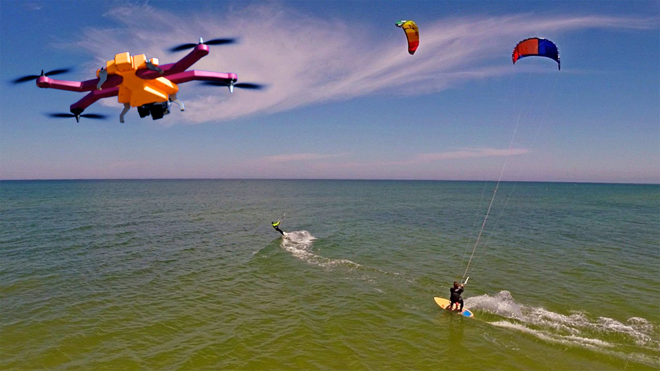
As it nears the completion of a massively successful Kickstarter campaign, drone makers Helico Aerospace announced this week that their forthcoming AirDog drone — which automatically follows users as they do things like wakeboarding or skiing — will gain a new map-based obstacle avoidance system for safer flying.
Users will be able to program maps with three-dimensional "no fly zones" — such as trees, buildings, or infrastructure like ski lifts — that AirDog will intelligently avoid as it flies. The company says that pre-generated maps of popular destinations including wakeboarding cable parks, MX tracks, bike trails, snow parks and ski resorts will be available for download from a cloud locker.
"This will enable the use of AirDog even in places where simple following is either dangerous or not possible," Helico CEO Edgars Rozentals said.
Rozentals told AppleInsider via email that the company is also working to integrate elevation data from Google Maps. This will allow for more accurate mapping by determining if, for instance, a user is following a downhill ski trail or staying in a level area.
AirDog works by automatically tracking a remote control device, dubbed an "AirLeash," that users can strap to their wrist or helmet. The drone can then be placed into one of a number of follow modes so that it will do things like maintain a consistent position relevant to the user or continuously circle overhead.
At press time, AirDog had raised some $1.2 million on Kickstarter with 13 hours remaining. The first kits are expected to ship in November for $1,500.