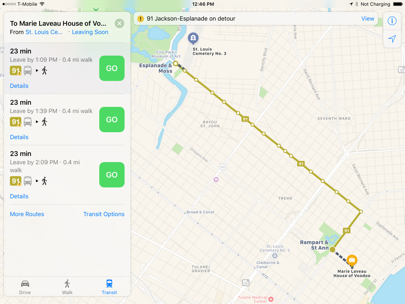
Apple has once again expanded the availability ot public transit directions in its Maps apps for iOS and macOS, this time brining them to New Orleans a few weeks ahead the city's annual Mardi Gras festival.
The new coverage lets riders mix bus, train, streetcar, and walking directions, including options like Amtrak, which gained expanded Maps support last October. As usual routes are color-coded, and feature network logos where appropriate.
This year's Mardi Gras parade is scheduled for Feb. 28, and will likely see a massive influx of tourists, making it an opportunity for Apple to expose more people to Maps or at least avoid complaints about transit directions being missing.

The app's transit support has been expanding relatively slowly since Apple reintroduced it in 2015 with iOS 9. The company actually removed the feature in iOS 6 as part of a broader move to strip out Google content and switch to its own mapping platform.
Much of Apple's transit coverage is in the U.S., where 29 cities are supported. The only other regions with equal or better support are China, Japan, and Great Britain — in other places, support is often limited to a handful of cities if any.
Apple will sometimes deliberately time expansions with major events. It added Rio de Janeiro ahead of the 2016 Summer Olympics, and incorporated Houston just days before this weekend's Super Bowl.